


Weather peeps-check out this update for the storm in this area,so
jimhardy
13 years ago
Sort by:Oldest
Comments (18)
Related Stories
REMODELING GUIDESFinish Your Remodel Right: 10 Tasks to Check Off
Nail down these key details to ensure that everything works properly and you’re all set for the future
Full Story
TRAVEL BY DESIGNHouzz TV: Take a Leaf-Peeping Road Trip in New England
Ride along with a Houzz contributing photographer to see gorgeous autumn eye candy from New York to New Hampshire
Full Story
HOUSEKEEPINGLower Your Heating Bills With Some Simple Weather Stripping
Plug the holes in your house this winter to make sure cold air stays where it belongs: outside
Full Story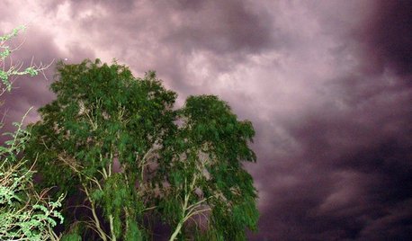
GARDENING GUIDESHow to Get Your Landscape Ready for Summer Storms
Don’t let high winds, dust storms and torrential rainfall catch you or your landscape by surprise
Full Story
LIFEPolar Vortex: How Houzzers Are Coping With the Storm
Spirits are staying high even as the mercury plunges to new lows. Do any of these firsthand accounts sound familiar?
Full Story
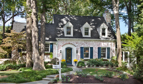
DECORATING GUIDESSo Your Style Is: Cottage
Cheerful, laid back and welcoming, cottage style feels like a giant hug. Find out how to make this appealing look work its magic
Full Story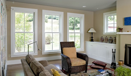
LIGHTINGSo You Bought a Cave: 7 Ways to Open Your Home to Light
Make the most of the natural light your house does have — and learn to appreciate some shadows, too
Full Story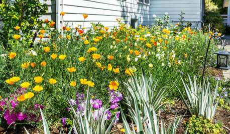
LANDSCAPE DESIGN10 Ideas for a Creative, Water-Conscious Yard
Check out these tips for a great-looking outdoor area that needs less water
Full Story
MONTHLY HOME CHECKLISTSDecember Checklist for a Smooth-Running Home
It's time to add weather stripping, plan for holiday home safety, consider backup heating, check your emergency kits and more
Full Story
KITCHEN DESIGNSo Over Stainless in the Kitchen? 14 Reasons to Give In to Color
Colorful kitchen appliances are popular again, and now you've got more choices than ever. Which would you choose?
Full Story

tropicalzone7
User
Related Discussions
May 16 hail storm check-in thread
Q
Ice Storm Check-In Thread
Q
Storm check in thread
Q
Checking in on North Texas peeps
Q
islandbreeze
Loveplants2 8b Virginia Beach, Virginia
jimhardyOriginal Author
mike-jaramillo
jimhardyOriginal Author
jimhardyOriginal Author
jimhardyOriginal Author
User
mike-jaramillo
mike-jaramillo
jimhardyOriginal Author
Loveplants2 8b Virginia Beach, Virginia
tropicalzone7
User
jimhardyOriginal Author
tropicalzone7