


Today's Fire Danger the Worst Yet::EXTREME
Okiedawn OK Zone 7
14 years ago
Sort by:Oldest
Comments (2)
Related Stories
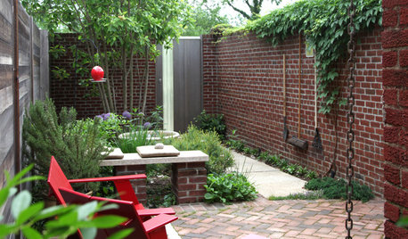
LANDSCAPE DESIGNHow Brick Fits Into Today’s Gardens
Natural brick is often considered a traditional building material. Here’s how people are using it in contemporary gardens too
Full Story
DECORATING GUIDES10 Design Tips Learned From the Worst Advice Ever
If these Houzzers’ tales don’t bolster the courage of your design convictions, nothing will
Full Story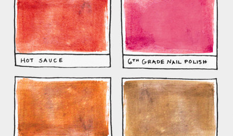
FUN HOUZZ16 Creative Paint Color Names We Haven't Seen — Yet
Someday, the namers of new paint colors will finally run out of ideas. We're here to help
Full Story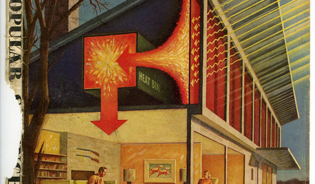
GREEN BUILDINGChampioning the Solar House, From the 1930s to Today
Homes throughout history that have used the sun offer ideas for net-zero and passive homes of the present, in a new book by Anthony Denzer
Full Story
ARCHITECTUREDesign Workshop: Playing With Fire
Go unexpectedly oversize or minimalist with your fireplace to set it apart from the ordinary
Full Story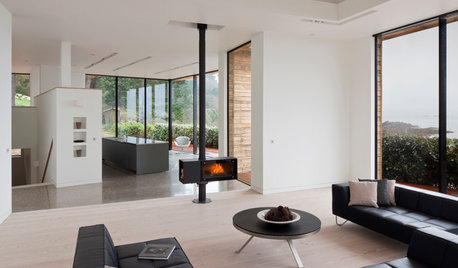
FIREPLACESUpdated Woodstoves Keep Home Fires Burning
Better technology means more efficiency than ever for modern woodstoves
Full Story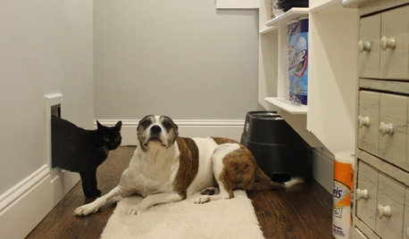
PETSPet-Proofing Your Home: A Room-by-Room Guide
Not all pet dangers are obvious. Keep furry friends safe and sound by handling all of these potential hazards
Full Story
MOST POPULAR9 Real Ways You Can Help After a House Fire
Suggestions from someone who lost her home to fire — and experienced the staggering generosity of community
Full Story
KITCHEN DESIGNKitchen of the Week: Chestnut and an Open Fire in Connecticut
Antique chestnut boards give a kitchen with a wood-burning oven vintage flair, balancing its modern amenities
Full Story
FIREPLACESRibbons of Fire: 10 Artfully Minimalist Fireplaces
Long and lean and sleek to the core, these gas-burning fireplaces make a powerful contemporary statement
Full Story
shankins123
Okiedawn OK Zone 7Original Author
Related Discussions
Canning as a contact sport? Post your worst injuries...
Q
Very High to Extreme Fire Danger Friday
Q
Sunday possibly our worst day so far
Q
nws calls central ok 'particularly dangerous situation' today
Q