


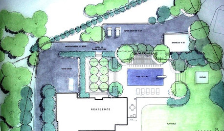
On Site Calculations - Area
pls8xx
17 years ago
Sort by:Oldest
Comments (26)
Related Stories
CONTRACTOR TIPSHow to Calculate a Home’s Square Footage
Understanding your home’s square footage requires more than just geometry
Full Story
DECORATING GUIDESYour Decor: The Joy of the Calculated Risk
Celebrate the Color and Surprise of Highly Personalized Homes
Full Story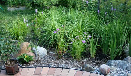
LANDSCAPE DESIGNHow to Site and Size a Rain Garden for Your Landscape
Installing a rain garden is an excellent way to reduce runoff and return water to its source
Full Story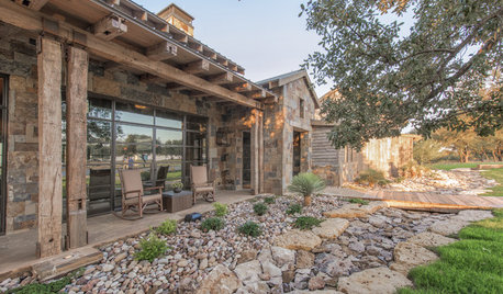
LANDSCAPE DESIGNTo Manage Stormwater Sustainably, Understand Your Site
Follow this guide to learn how water moves through your landscape and how best to manage it
Full Story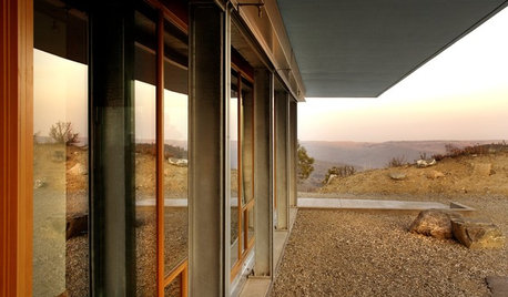
GREEN BUILDINGOff the Grid: Siting and Building to Conserve Energy
Look to low-tech solutions for big energy savings when you’re constructing a home
Full Story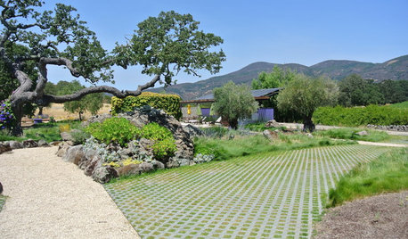
ARCHITECTUREBuilding Green: How to Plan Your Site for Healthier Living
Learn the many ways to create a more eco-friendly environment on your land
Full Story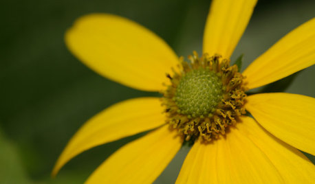
FLOWERS AND PLANTSRudbeckia Laciniata Enlivens Late-Season Shady and Sunny Sites
Give long-blooming, towering cutleaf coneflower room to spread in U.S. gardens for maximum rewards
Full Story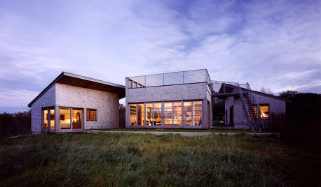
ARCHITECTUREDesign Workshop: How a Site Can Shape a Home
Create architectural poetry by looking to a site's topography, climate, trees and more to inform the home's design
Full Story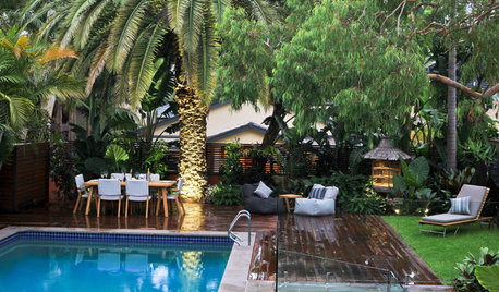
LANDSCAPE DESIGNCelebrate a Sunny Climate With the Right Leafy Palm for Your Site
So you get freezes or floods. So your garden is small. These palms send excuses riding off into the tropical sunset
Full Story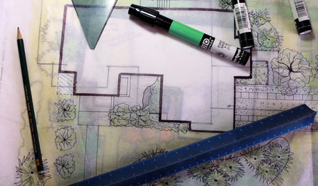
WORKING WITH PROSUnderstand Your Site Plan for a Better Landscape Design
The site plan is critical for the design of a landscape, but most homeowners find it puzzling. This overview can help
Full Story


jake
pls8xxOriginal Author
Related Discussions
Online planting date calculator?
Q
Boston-area site for Chinese antique table?
Q
Warning: Constant Building Site Burglaries in our Area
Q
Gunite calculations
Q
inkognito
creatrix
pls8xxOriginal Author
creatrix
pls8xxOriginal Author
ichabod
creatrix
drhooke
txjenny
drhooke
ichabod
pls8xxOriginal Author
Cady
laag
pls8xxOriginal Author
Cady
ichabod
pls8xxOriginal Author
pls8xxOriginal Author
debiluis_hotmail_com
pls8xxOriginal Author
saxp
Elliott Dobbs
Elliott Dobbs