


Time to batten down the hatches around here
rcnaylor
15 years ago
Sort by:Oldest
Comments (29)
Related Stories

HOUSEKEEPINGIt’s Time to Clean Your Gutters — Here’s How
Follow these steps to care for your gutters so they can continue to protect your house
Full Story
STUDIOS AND WORKSHOPSYour Space Can Help You Get Down to Work. Here's How
Feed your creativity and reduce distractions with the right work surfaces, the right chair, and a good balance of sights and sounds
Full Story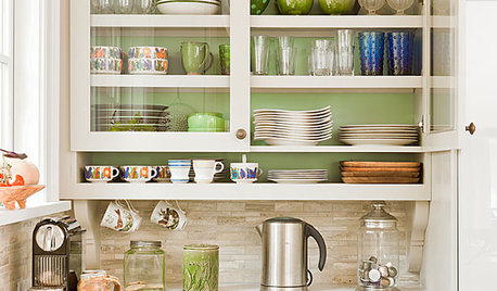
KITCHEN CABINETSChoosing New Cabinets? Here’s What to Know Before You Shop
Get the scoop on kitchen and bathroom cabinet materials and construction methods to understand your options
Full Story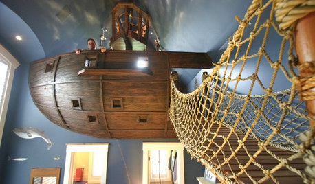
FEEL-GOOD HOMEHouzz Tour: 'Pirate House' Lures With Surprises
Batten down the hatches for a wild ride in Minnesota, from a lofty crow's nest to a twisty, tubular slide to a secret passageway and more
Full Story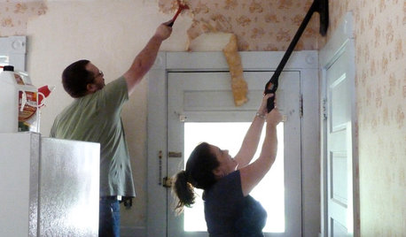
DECORATING GUIDESHow to Remove Wallpaper in 4 Steps
Learn the best way to remove wallpaper with only water (and elbow grease) so your next wall treatment will look great
Full Story
ARCHITECTUREGet a Perfectly Built Home the First Time Around
Yes, you can have a new build you’ll love right off the bat. Consider learning about yourself a bonus
Full Story
MOST POPULARIs Open-Plan Living a Fad, or Here to Stay?
Architects, designers and Houzzers around the world have their say on this trend and predict how our homes might evolve
Full Story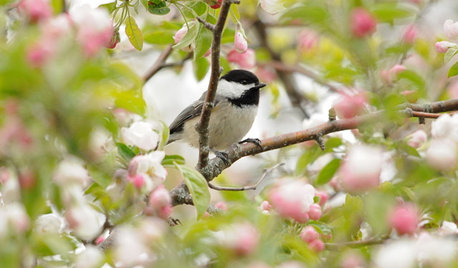
SPRING GARDENINGSpring Gardens Are Waking — Here’s What to Do in March
Excitement fills the air when gardens come back to life. These guides will help you make the most of yours
Full Story
STAIRWAYSGot Stairs? Here’s How to Choose the Right Runner for You
Get the skinny on material selection, color and pattern, installation and more
Full Story
PETSHere’s How to Show Your Pet Even More Love
February 20 is Love Your Pet Day. Find all the ideas and inspiration you need to celebrate right here
Full Story
pjtexgirl
texaslynn
Related Discussions
Batten down the hatches, Southern New England
Q
Batten down the Hatches again!
Q
Batten down the hatches, here it comes!
Q
Batten Down the Hatches
Q
carrie751
Gardener972
bossjim1
shebear
mikeandbarb
rcnaylorOriginal Author
rcnaylorOriginal Author
justintx
shebear
carrie751
knittlin
TxMarti
pjtexgirl
lou_spicewood_tx
mikeandbarb
fliptx
rcnaylorOriginal Author
carrie751
lou_spicewood_tx
melvalena
carrie751
rcnaylorOriginal Author
pjtexgirl
beachplant
blubelle
uhohgardner
rcnaylorOriginal Author