


Share Gardens / Trees Images with GPS / Google Earth
mdvaden_of_oregon
16 years ago
Sort by:Oldest
Comments (9)
Related Stories

HOME TECHWhy Google Just Paid $3.2 Billion for a Company That Makes Thermostats
Smart home technology just got a new champion — and everyone is speculating about the reasons
Full Story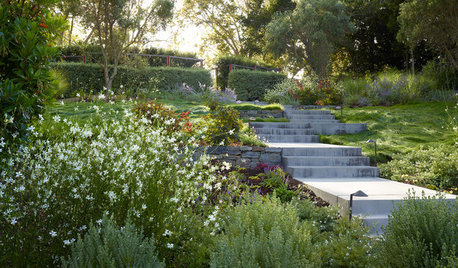
EARTH DAY5 Ideas for a More Earth-Friendly Garden
Consider increasing the size of garden beds, filtering rainwater and using plants to reduce energy use
Full Story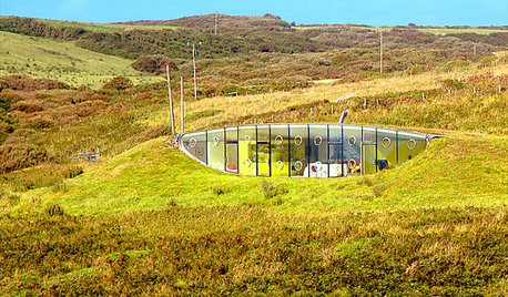
ARCHITECTURE6 Amazing Homes Dug Into the Earth
Designed to disappear or with portions peeking out, these houses bring a new meaning to 'communing with nature'
Full Story
THE ART OF ARCHITECTUREWorld of Design: Trees Bring Nature to a High-Rise in Milan
Discover ‘the most beautiful and innovative skyscraper in the world’ — the foliage-filled Bosco Verticale — and tour one of its apartments
Full Story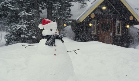
LIFEShare Your Winter Storm Jonas Photos and Survival Tips!
Let’s see your pictures and hear your ideas on how you’re keeping your house warm and staving off cabin fever
Full Story
HOME TECHThe Inevitable Future of Drones Around Your Home
As Google joins the push for airborne deliveries, it seems only a matter of time before neighborhoods are buzzing with drones. Is that OK?
Full Story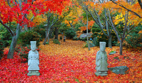
FALL GARDENING11 Trees for Brilliant Fall Color
Give your landscape the quintessential look of autumn with the red, orange and yellow leaves of these standouts
Full Story
GARDENING GUIDES13 Risks to Take for True Garden Rewards
Go ahead, be a rebel. Breaking rules in the garden can lead to more happiness, creativity and connection with the earth
Full Story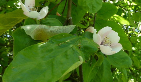
EDIBLE GARDENSWhy Grow Quince? For Beauty, Fragrance and Old-Time Flavor
Delightfully perfumed fruit and lovely spring blossoms make this apple and pear cousin worth a spot in the garden
Full Story
DECORATING GUIDESPalm Trees Take Interiors on a Tropical Vacation
Conjure a sultry vibe or bring welcome life to modern rooms. Whatever your interior design style, palm trees are the ticket to enhancing it
Full Story
amesly
mdvaden_of_oregonOriginal Author
Related Discussions
Please share your garden blog/website
Q
Gardening - all things for all people... :-)
Q
Google Earth blows my mind.
Q
Circus Trees - Sharing
Q
mdvaden_of_oregonOriginal Author
sam_wa
wladimir
wladimir
Embothrium
cascadians
buyorsell888