


Freeze Watch, Frost Adv for Much of OK Tues AM
Okiedawn OK Zone 7
12 years ago
Related Stories
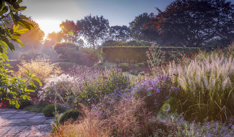
GARDENING GUIDESGot Frost-Damaged Plants? How It Happens, and When and How to Prune
Crispy brown leaves are a sure sign that Jack Frost has been to your neighborhood
Full Story
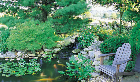
GARDENING AND LANDSCAPINGHow to Make a Pond
You can make an outdoor fish paradise of your own, for less than you might think. But you'll need this expert design wisdom
Full Story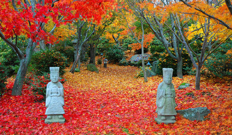
FALL GARDENING11 Trees for Brilliant Fall Color
Give your landscape the quintessential look of autumn with the red, orange and yellow leaves of these standouts
Full Story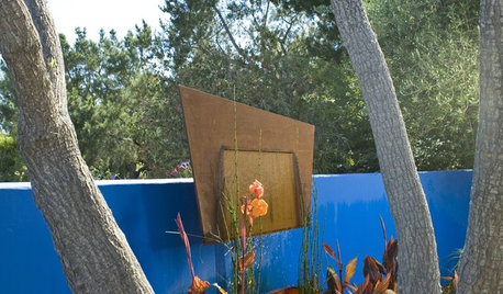
GARDENING GUIDESHow to Go Bold With Summer Garden Color
Get dramatic color in your garden from summer through fall with these tips for plantings, furniture and backdrops
Full Story
FALL GARDENING7 Reasons Not to Clean Up Your Fall Garden
Before you pluck and rake, consider wildlife, the health of your plants and your own right to relax
Full Story
LIFEHouzz Call: How Are You Handling the Record-Breaking Cold?
Share your tales, strategies and photos for everything polar vortex
Full Story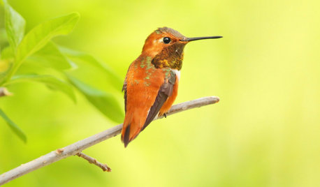
GARDENING GUIDESBackyard Birds: Invite Entertaining Hummingbirds Into Your Garden
Hummingbirds — unique to the Americas — zip through open landscapes seasonally or year-round. Here’s how to attract them
Full Story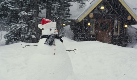
LIFEShare Your Winter Storm Jonas Photos and Survival Tips!
Let’s see your pictures and hear your ideas on how you’re keeping your house warm and staving off cabin fever
Full Story
BASEMENTSDesign Workshop: Is It Time to Let Basements Become Extinct?
Costly and often unnecessary, basements may become obsolete — if they aren’t already. Here are responses to every reason to keep them around
Full StorySponsored
Nancy Fryhover
Okiedawn OK Zone 7Original Author
Related Discussions
Weekend: Windy, Fire Watch West, Freeze Watch East
Q
Frost Adv Extened to Southern OK at 3:53 AM
Q
High Fire Danger Tues Afternoon--OK Panhandle & Western Kansas
Q
Freeze/Frost Forecast NE OK Sat Night/Sun AM
Q
leava
Okiedawn OK Zone 7Original Author
miraje
elkwc
Okiedawn OK Zone 7Original Author
leava
Macmex
Erod1
Okiedawn OK Zone 7Original Author