


Red Flag Fire Warning/High to Extreme Fire Danger
Okiedawn OK Zone 7
14 years ago
Sort by:Oldest
Comments (2)
Related Stories

MOST POPULARHow to Hang the American Flag at Home
We’ll show you how to display the American flag on your house for Memorial Day, the Fourth of July or all year round
Full Story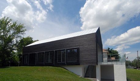
REMODELING GUIDES'Yakisugi-ita' Is Setting the Siding World on Fire
Exterior wood siding created by a Japanese burning technique is now alighting in the Western world
Full Story
FIREPLACESUpdated Woodstoves Keep Home Fires Burning
Better technology means more efficiency than ever for modern woodstoves
Full Story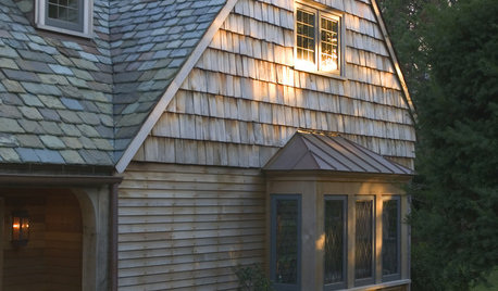
EXTERIORSRoofing Materials: Slate Makes for Fireproof Roofs That Last
It stands up to weather and fire without losing its high-end look. But can your budget handle it?
Full Story
KITCHEN COUNTERTOPSKitchen Counters: High-Tech Solid Surfaces Make Maintenance Easy
Sculpted by heat and nonporous by nature, solid-surface countertops bring imagination and low maintenance to the kitchen
Full Story
LIGHTINGThe Lowdown on High-Efficiency LED Lighting
Learn about LED tapes, ropes, pucks and more to create a flexible and energy-efficient lighting design that looks great
Full Story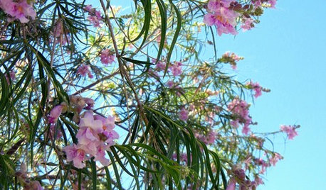
LANDSCAPE DESIGNGreat Design Plant: Paint the Summer Landscape With Desert Willow
If the vibrant flowers of this Southwestern native tree don't blow you away, the hummingbirds, fire resistance and low maintenance will
Full Story
COLOR4 Hot Color Trends to Consider for 2013
Bring some zing to your rooms for the new year, with high-energy shades that open the eyes and awaken the spirit
Full Story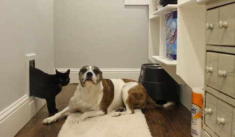
PETSPet-Proofing Your Home: A Room-by-Room Guide
Not all pet dangers are obvious. Keep furry friends safe and sound by handling all of these potential hazards
Full Story
FALL GARDENING11 Trees for Brilliant Fall Color
Give your landscape the quintessential look of autumn with the red, orange and yellow leaves of these standouts
Full Story
Okiedawn OK Zone 7Original Author
OklaMoni
Related Discussions
Very High to Extreme Fire Danger Friday
Q
Red Flag Fire Warning/Fire Weather Watch/High WInd Advisory
Q
Red Flag Fire Warning Thursday for SW OK
Q
Fri. 4-29, Dangerous Wind and High/Extreme Fire Danger
Q